
PRODUCTS
Exceptional GIS Applications and Software
Smart Map Viewer
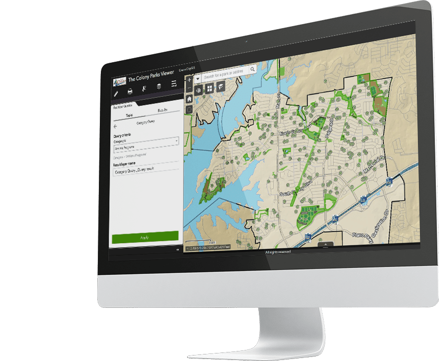
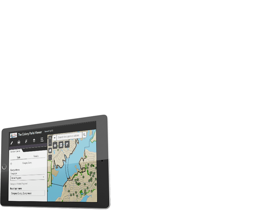
This application is an intuitive solution for viewing, querying, and analyzing Parks and Recreation data. The Map Viewer presents a tool that offers new and innovative decision support and will drive the Parks and Recreation Master Planning process. Viewing, interpreting, analyzing, and monitoring park infrastructure and recreation users has never been easier.
- Gather and analyze demographic information
- Utilize geo-analytics to identify gaps, opportunities, strengths and patterns
- Develop software widgets and tools for planning and decision support.
- Geospatial Toolbox
- Parking Design Assistant (PDA)
- Trail Elevation Profile (TEP)
- Sports Field Design Assistant
- Tree Benefit Calculator (TBC)
- Automated Mailing Label Generator
- 3D Modelling
- Building Your Geosmart Custom Toolbox TM


Smart Mobile Data Collector
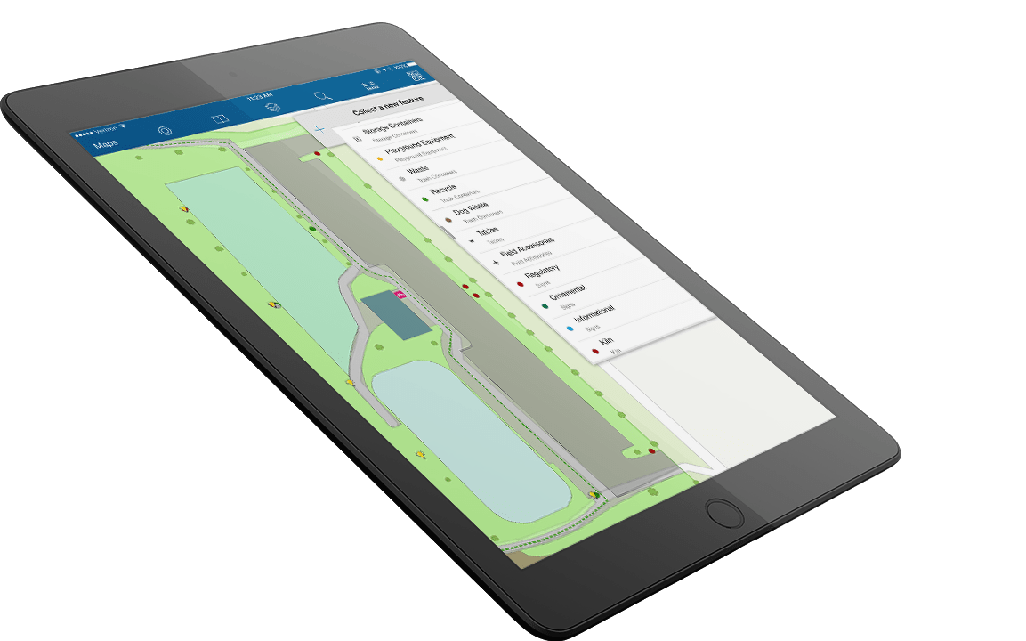
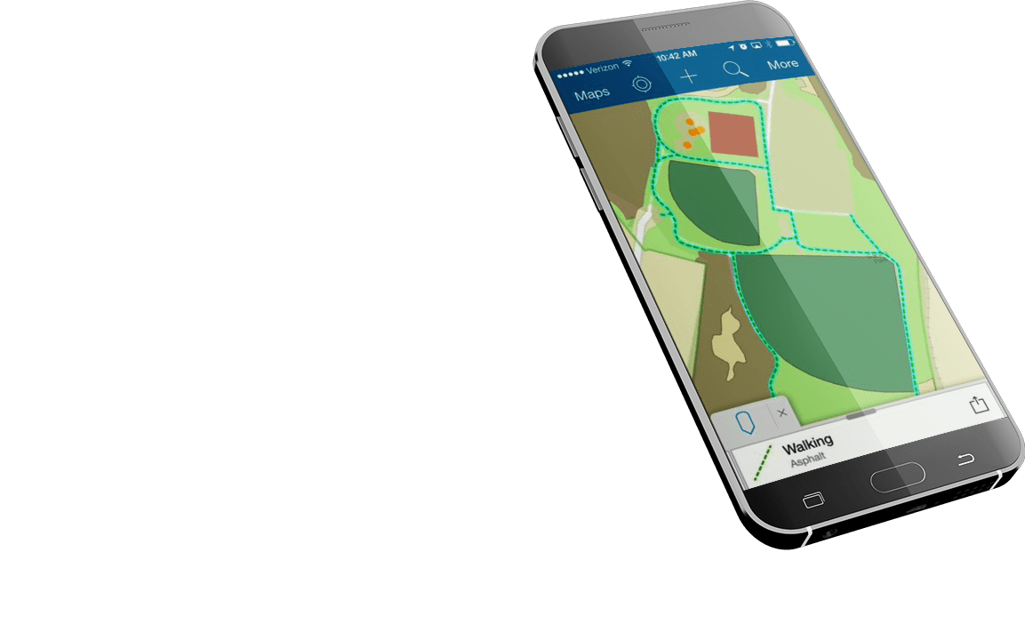
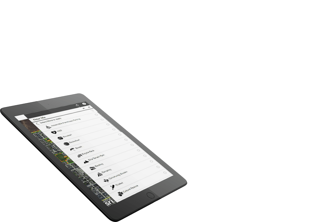
Utilize this easy-to-use map-centric tool to inventory, update, and maintain your park system infrastructure and perform many types of field surveys. The task of collecting park infrastructure and recreation user data in the field, and turning it into meaningful information in the office is simplified through a mobile app that works on any of your hardware including laptops, tablets, and smartphones.
- Easy-to-use Graphic User Interface (GUI)
- Mobile and touchscreen intuitive technology
- Simple search and query function
- Include photographs, videos, and field notes.
Operational Dashboard
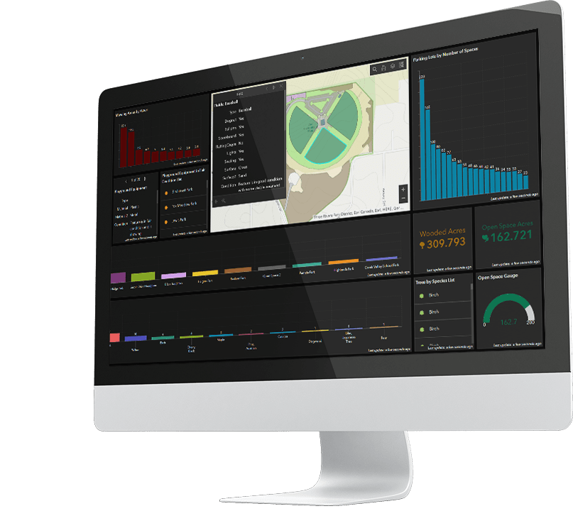
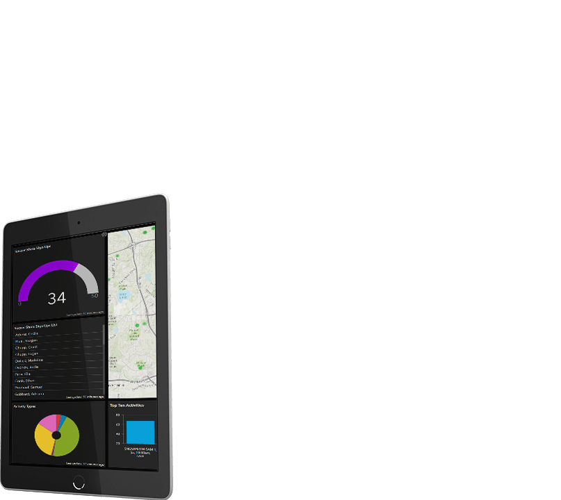
A unique and interactive operations dashboard dynamically monitors park assets, recreation programs, and events, as well as the status and performance of Parks and Recreation departments. It easily tracks field activities and keeps an up-to-date record of characteristics of parklands, open space, woodlands, wetlands, parking facilities, the condition of playground and park infrastructure equipment, and any additional user-defined metrics.
- Real-time park system and recreation user status
- Dashboard decision support
- Existing condition assessment
- Measuring policy and standards
- Operational performance measures
- Parks Assets
- Policy Monitoring Tools
- Recreation Users
- Policy Monitoring Tools
- Parks Assets
Citizen Engagement Tools
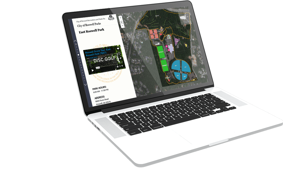
This tool offers all Parks and Recreation departments improved community awareness and engagement through geo-spatial story maps, walking tours, and an online citizen Park and Recreation query tool. Public-facing applications offer an exciting and visually pleasing way of engaging citizens.
- Increase community awareness
- Promote recreational opportunities
- Improve public access
- Showcase parks
- Story Maps TM
- Parks
- Environmental
- Natural Resources
- Recreation Users
- Cemetery
- Historic Tours
- Park Locator
- Story Maps TM
Smart Rec Analyzt TM
Database solutions present the opportunity to integrate data from many existing software solutions. This includes real-time recreation user information, work order and work request data, park user survey data, tree inventory systems, and revenue data.
- Integrate real-time recreation user information
- Analyze recreation facility usage and performance
- Increase park and recreation participation and revenue
- Locate all your park and recreation users
- Determine area to market recreation events, activities, and facilities
- Make informed decisions about recreation user habits and patterns
- Use census data to understand your community demographics
- Geo Max: Seamless Recreation Database Integrator – Recreation Management Software Partners
- Advanced Query Analyzer (AQA)
- Map Centric Online Reservation Tool
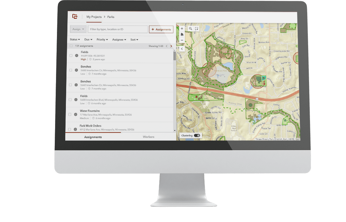


WorkForce TM
Smarter field workforce coordination at your fingertips.
GreenCityGIS Work Order solution is powered by Esri Workforce solutions. Esri created Workforce as part of their Geospatial Cloud, in addition to a mobile application (Workforce for ArcGIS), which coordinates your team in the field with location technology. This program reduces the reliance on manual and paper processes and tracking to fully integrate work management and provide your whole team access to needed data. With Workforce for ArcGIS, you will increase efficiencies, accuracy, productivity, and see the greatest return on your GIS investment.
How Workforce works
https://www.esri.com/en-us/arcgis/products/workforce/overview
- Parks and Recreation Light Weight Work Order Solution
GeoSmart Data Integrator TM
The future is Interoperability
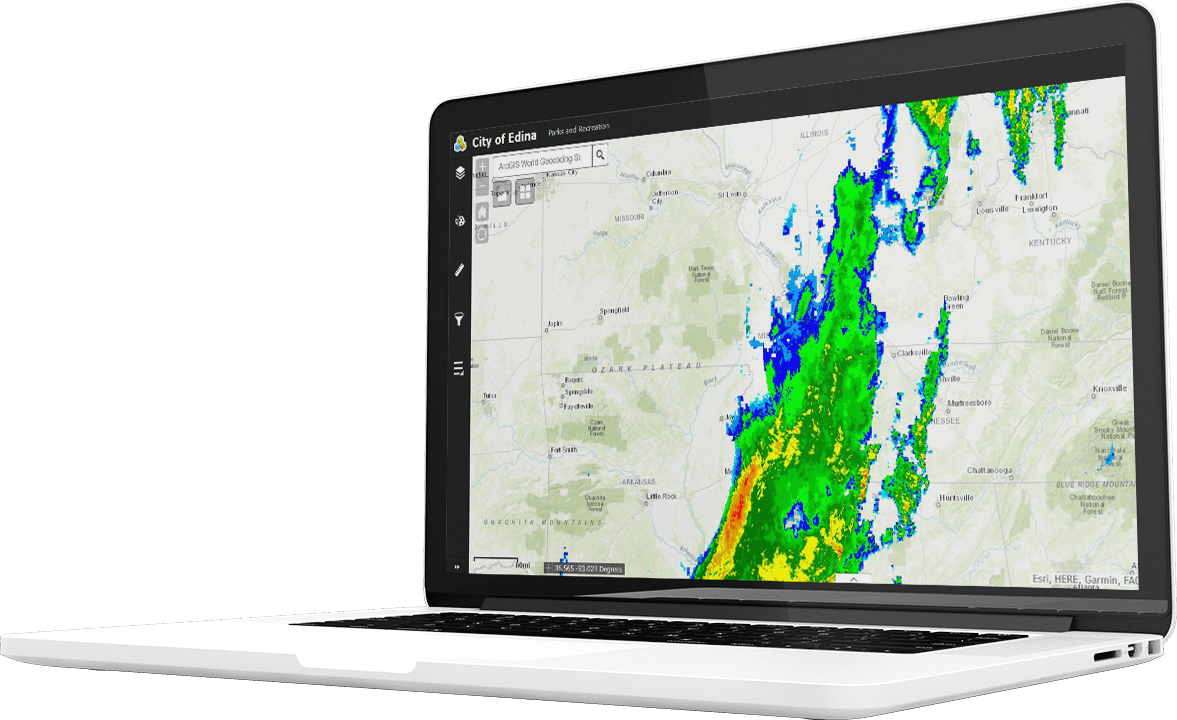
GreenCityGIS is focused on the future of smart parks and smart recreation. The Geosmart Data Integrator allows organizations to integrate any types of local, state, federal or private data into the GreenCityGIS solution. Data and databases can include, but not limited to the following:
- Weather Feeds
- Steam Gauge Data
- Air Quality Data
- Water Quality
- Pedestrian Data
- Traffic Data
- Social Media Data
- Automated Vehicle Location
- People (Smart Phone) Location
- 2020 Demographic Data
- Drone Imagery
- GO PRO Video
- Crime Data (Near and Inside Parks)
- CCTV Camera Feeds
- Transportation and Transit
Smart Budget Calculator (SBC) TM
Budget for your Parks Future
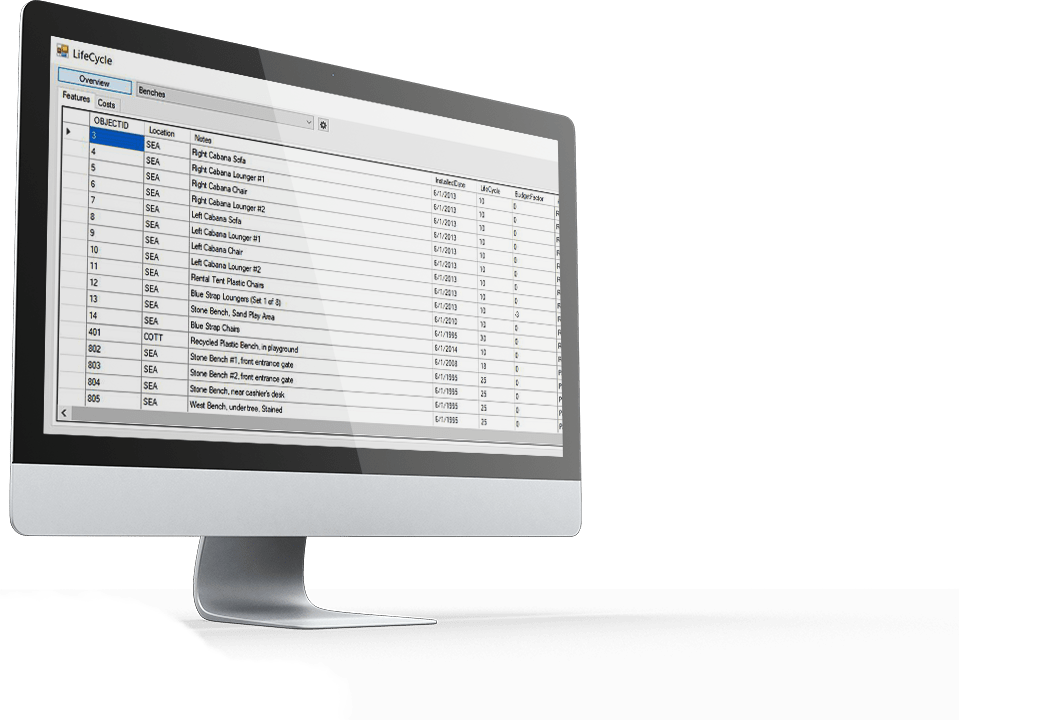
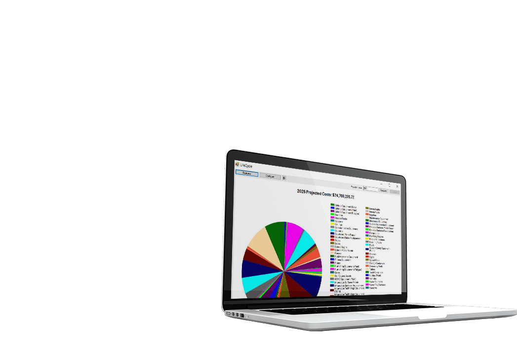
GreenCityGIS has a unique tools that uses all field data to calculate the cost of replacement or refurbishment of all parks assets. The Smart Budget Calculator (SBC) was designed and built for Parks and Recreation Departments. SBC instantly calculates all the information collected in the field about park assets. It is a simple, easy to use software solution that helps with budgeting for park assets.
The Parks and Recreation Director can instantly submit an annual budget for parks improvements.